Lot

277

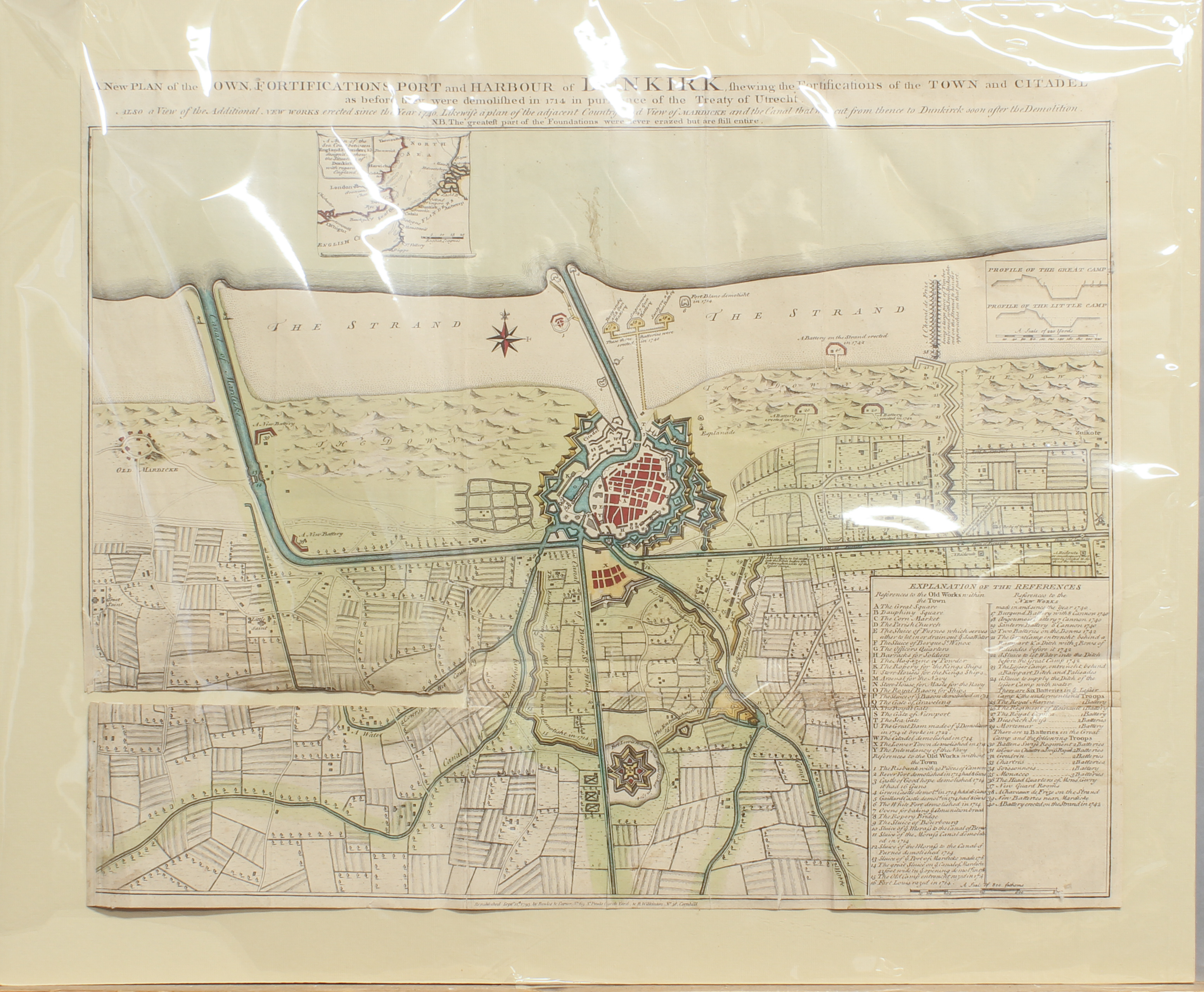
A late 18th century hand-coloured engraved map of Dunkirk - 'A New Plan of the Town

In November 2024 Timed Auction

This auction is live! You need to be registered and approved to bid at this auction.
You have been outbid. For the best chance of winning, increase your maximum bid.
Your bid or registration is pending approval with the auctioneer. Please check your email account for more details.
Unfortunately, your registration has been declined by the auctioneer. You can contact the auctioneer on +44 (0)1451 821666 for more information.
You are the current highest bidder! To be sure to win, come back on as the lot closes or increase your max bid.
Leave a bid now! Your registration has been successful.
Sorry, bidding has ended on this item. We have thousands of new lots everyday, start a new search.
Bidding on this auction has not started. Please register now so you are approved to bid when auction starts.
1/2
A late 18th century hand-coloured engraved map of Dunkirk - 'A New Plan of the Town - Image 1 of 2
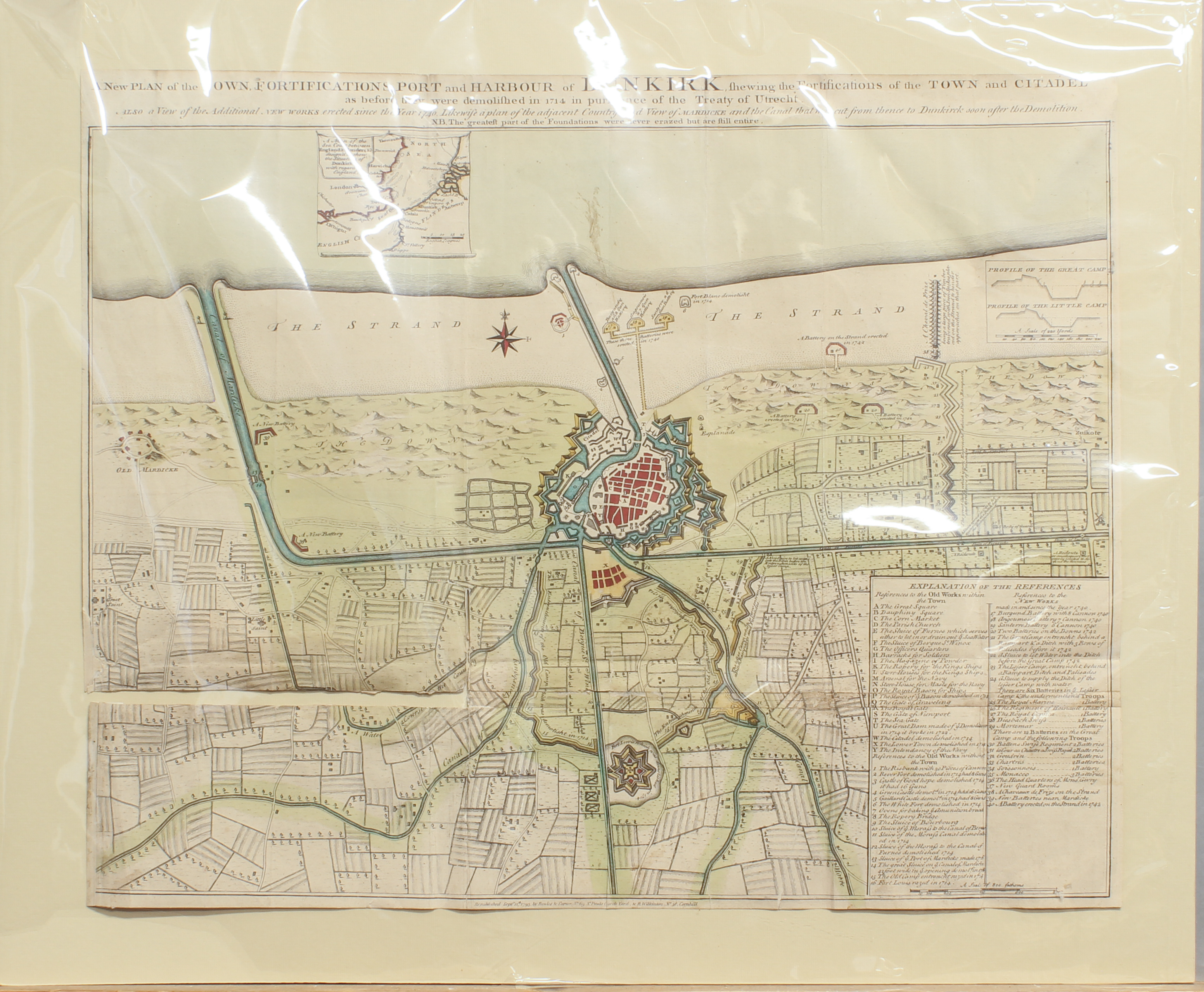
A late 18th century hand-coloured engraved map of Dunkirk - 'A New Plan of the Town - Image 2 of 2
A late 18th century hand-coloured engraved map of Dunkirk - 'A New Plan of the Town - Image 1 of 2
A late 18th century hand-coloured engraved map of Dunkirk - 'A New Plan of the Town - Image 2 of 2
Interested in the price of this lot?
Subscribe to the price guide
Bourton-On-The-Water, Gloucestershire
A late 18th century hand-coloured engraved map of Dunkirk - 'A New Plan of the Town Fortifications, Port and Harbour of Dunkirk shewing the Fortifications of the Town and Citadel as before they were demolished in 1714 in pursuance of the Treaty of Utrecht', republished by Bowles & Carver, London Sept. 12th 1793, mounted but unframed, 47.5 x 58.8cm, old taped repairs, splits along folds at lower left.

November 2024 Timed Auction

Ends from
Venue Address
The North Cotswold Saleroom
Lansdowne
Bourton-on-the-Water, GLOS
Bourton-on-the-Water
Gloucestershire
GL54 2AR
United Kingdom

Please call 01451 821666 for information.

Important Information

Buyer's Premium 21% plus VAT (25.2% inclusive). Online bids through the-Saleroom.com will have an additional internet surcharge of 4.95% plus VAT (6.25% inclusive) applied to their invoice. Overall this will total 31.45% of the hammer total applied to your invoice.
Please telephone 01451821666 or email fineart@taylerand fletcher.co.uk for further information.
Collections from the Saleroom are permitted from Monday 25th November 2024 onwards. Collection slots every 15 minutes can be booked in advance by phone or by email.
an be booked in advance by phone or by email.

Terms & Conditions

Buyer's Premium 21% plus VAT (25.2% inclusive). Online bids through the-Saleroom.com will have an additional internet surcharge of 4.95% plus VAT (6.25% inclusive) applied to their invoice. Overall this will total 31.45% of the hammer total applied to your invoice.

See Full Terms And Conditions

Tags: Map