Refine your search
Estimate
Category
- Maps (69)
- Books, Manuscripts & Periodicals (33)
- Prints & Multiples (22)
- Arms, Armour & Militaria (4)
- Collectables (3)
- Sporting Memorabilia & Equipment (2)
- Drawings & Pastels (1)
- Entertainment Memorabilia (1)
- Greek, Roman, Egyptian & other antiquities (1)
- Oil, Acrylic paintings & Mixed Media (1)
- Stamps (1)
- Tools (1)
Creator / Brand
- Robert Morden (12)
- Blaeu (8)
- Joan Blaeu (5)
- Thomas Kitchin (5)
- Willem Janszoon Blaeu (4)
- English School (3)
- Jan Jansson (3)
- Janssonius (3)
- Johannes Janssonius (3)
- Christopher Saxton (2)
- Emanuel Bowen (2)
- Greenvile Collins (2)
- J. R. R. Tolkien (2)
- John Ogilby (2)
- Richard William Seale (2)
- Thomas Hardy (2)
- Abraham Ortelius (1)
- Beatrix Potter (1)
- Crystal Palace (1)
- Edward Weller (1)
- Geographical Section War Office (1)
- Deutsch (1)
- John Cary (1)
- John Senex (1)
- John Speed (1)
- Joshua Reynolds (1)
- Ortelius (1)
- Pierre Mortier (1)
- Second World War (1)
- Thomas Jefferys (1)
- Thomas Moule (1)
Item Type
- Map (67)
- Cartographers and Mapmakers (19)
- Engraving (10)
- Etching (8)
- Book (7)
- Famous Author (4)
- Ordnance survey map (4)
- Folio (3)
- Letter (3)
- Atlas (2)
- Lithograph (2)
- Road map (2)
- 15th-18th Century Art (1)
- Journal (1)
- Militaria (1)
- Mixed Media (1)
- Oil painting (1)
- Poetry (1)
- Portrait (1)
- Postcard (1)
- Rule (1)
- WW2 Militaria (1)
- List
- Grid
A subscription to the Price Guide is required to view results for auctions ten days or older. Click here for more information
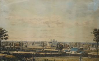
Samuel Buck (British 1696-1779) and Nathaniel Buck (British 18th century): 'The South-East Prospect
Samuel Buck (British 1696-1779) and Nathaniel Buck (British 18th century): 'The South-East Prospect of the City of York', 18th/19th century engrav...
After Henry Cave (British 1779-1836): 'South East Prospect of York', mid-19th century lithograph with hand-colouring pub. c.1840, 35cm x 56cm
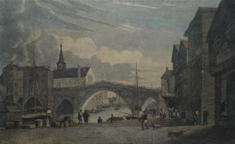
Henry Cave (British 1779-1836): 'Old Bridge and St William's Chapel York, from Sketches made previous to the demolition of the Chapel in Aug 1809'...
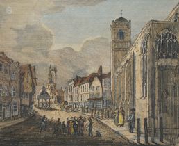
Henry Cave (British 1779-1836): 'Pavement with the Churches of St Crux and All Saints' York
Henry Cave (British 1779-1836): 'Pavement with the Churches of St Crux and All Saints' York, early 19th century etching with hand-colouring 21cm x...
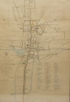
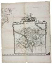
Thomas Jefferys (British 1719-1771): 'A Plan of the City of York', original engraved map with hand colouring pub. 1772, 74cm x 60cm (unframed)
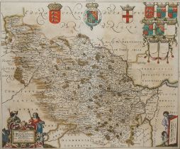
Johannes (Joan) Blaeu (Dutch 1596-1673): 'Ducatus Eboracensis pars Occidentalis - the West Riding of
Johannes (Joan) Blaeu (Dutch 1596-1673): 'Ducatus Eboracensis pars Occidentalis - the West Riding of Yorkshire', 17th century engraved map with ha...
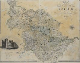
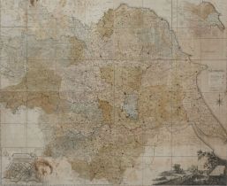
John Tuke (British 18th century): 'Map of the County of York', large engraved map with hand-colouring divided into 48 sections with a plan of the ...
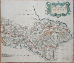
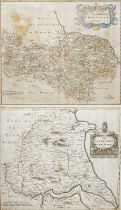
Robert Morden (British c.1650-1703): 'The North Riding of Yorkshire' and 'The East Riding of Yorkshi
Robert Morden (British c.1650-1703): 'The North Riding of Yorkshire' and 'The East Riding of Yorkshire', two 17th/18th century engraved maps with ...
Richard Blome (British 1635-1705): 'A Mapp of Ye East Rideing of Yorkshire [East Riding Yorkshire]'
Richard Blome (British 1635-1705): 'A Mapp of Ye East Rideing of Yorkshire [East Riding Yorkshire]', 17th century engraved map with hand-colouring...
John Cary (British 1754-1835): 'A New Map of Yorkshire - Divided into its Ridings and Subdivided int
John Cary (British 1754-1835): 'A New Map of Yorkshire - Divided into its Ridings and Subdivided into its Hundreds, set three 19th century engrave...
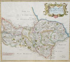
Robert Morden (British c.1650-1703): 'The North Riding of Yorkshire', 17th/18th century engraved map with hand-colouring 38cm x 43cm
J Lane (Surveyor) (British 19th century): 'Plan of the Keldy Estate 1891', original 19th century hand-drawn map and plan of the Keldy Estate in th...
Large Victorian Ordnance Survey map of the parish of Hinderwell in North Yorkshire, including coastal plan of Runswick Bay 66cm x 95cm
Thomas Kitchin (British 1719-1784): 'An Accurate Map of Yorkshire' and 'The North Riding of Yorkshir
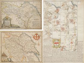
Thomas Kitchin (British 1719-1784): 'An Accurate Map of Yorkshire' and 'The North Riding of Yorkshire', two 18th century engraved maps with hand-c...
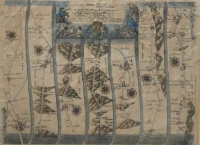
John Ogilby (British 1600-1676): 'The Roads from York to Whitby and Scarborough', 17th century engraved strip map with later hand colouring pub. 1...
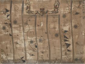
John Ogilby (British 1600-1676): 'The Road from Ferrybridge to Boroughbridge Continued to Barnard Ca
John Ogilby (British 1600-1676): 'The Road from Ferrybridge to Boroughbridge Continued to Barnard Castle', 17th century engraved strip map with ha...
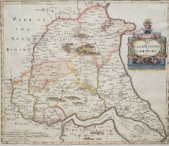
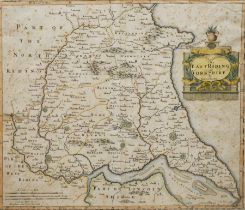
Robert Morden (British c.1650-1703): 'The East Riding of Yorkshire', 17th/18th century engraved map with hand-colouring 38cm x 43cm
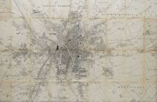
Framed Early 20th century Ordnance Survey map of York 60cm x 90cm
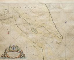
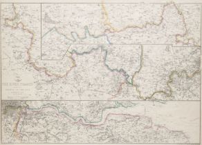
Captain Greenville (Greenvile) Collins (British 1643-1694): 'The River Humber', showin Hull and coasts of Yorkshire and Lincolnshire, 17th/18th ce...
Robert Morden (British c.1650-1703): 'The North Riding of Yorkshire', 18th/19th century engraved map with hand-colouring 38cm x 43cm
'Bird's-Eye View of the Esk' Yorkshire, engraved map with hand-colouring originally pub. 1892, labelled verso 71cm x 10cm
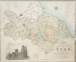
Christopher Greenwood (British 1786-1855) and John Greenwood (British 1791-1867): 'Map of the North
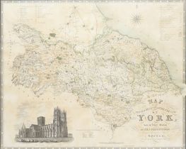
Christopher Greenwood (British 1786-1855) and John Greenwood (British 1791-1867): 'Map of the North Riding of the County of York', 19th century en...
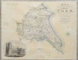
Christopher Greenwood (British 1786-1855): 'Map of the East Riding of the County of York', 19th century map with hand-colouring pub.1834, 62cm x 7...
Christopher Greenwood (British 1786-1855): 'Map of the West Riding of the County of York', 19th century map with hand-colouring pub.1834, 62cm x 7...
Christopher Greenwood (British 1786-1855): 'Map of the West Riding of the County of York', 19th century map with hand-colouring pub.1834, 62cm x 7...
Collection of local Ordnance Survey maps to include: three War Office Edition maps of Scarborough
Collection of local Ordnance Survey maps to include: three War Office Edition maps of Scarborough, Driffield & Bridlington first pub. 1932; three ...
Robert Morden (British c.1650-1703): 'The North Riding of Yorkshire', 17th/18th century engraved map with hand-colouring 38cm x 43cm
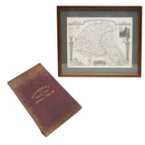
Richardson's Folding Map of South East and Central England pub. G W Bacon 1920; Thomas Moule (Britis
Richardson's Folding Map of South East and Central England pub. G W Bacon 1920; Thomas Moule (British 1785-1854): 'Yorkshire East Riding', 19th ce...
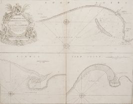
Capt. Greenvile Collins (British 1643-1694): 'Burlington Bay Scarbrough & Hartlepoole', 17th century engraved sea chart or map dedicated to Captai...
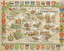
C Eric Simpson (British 20th century): 'The West Riding of Yorkshire' including York, original pictorial map watercolour and ink on board signed, ...
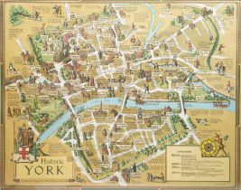
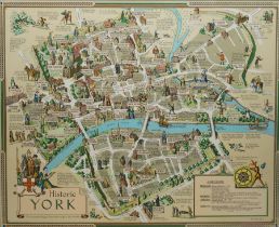
After Estra Clark (British 1904-1993): 'Historic York', gold ground colour map pub. Ben Johnson & Co Ltd. York 1947, 51cm x 64cm
After Ernest Clegg (British 1876-1954): 'Yorkshire East Riding', colour pictorial map pub. 1946 (first dated edition) pub. John Waddington Ltd Lee...
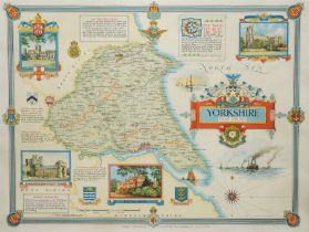
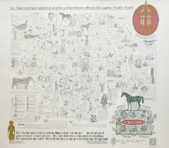
English School (20th century): 'Yorkshire', limited edition colour pictorial historical map of Yorkshire signed and numbered 343/571 in pen, secon...
After Estra Clark (British 1904-1993): 'Historic York', colour pictorial map pub. Ben Johnson & Co Ltd. York 1947, 56cm x 68cm
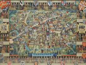
Kerry Lee (British 1902-1988): 'Cambridge', pictoral colour lithograph map pub. c.1947, 44cm x 58cm
Laurence Keeble (British 1916-2004): Sea Chart and Map of the 'Sinking of the German Battle Cruiser
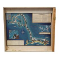
Laurence Keeble (British 1916-2004): Sea Chart and Map of the 'Sinking of the German Battle Cruiser 'Scharnhorst' 26th December 1943', mixed media...
British Transport Commission poster
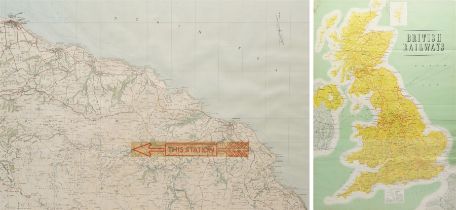
British Transport Commission poster, showing the service lines of 'British Railways', pub. by Waterlow & Sons Ltd, London & Dunstable, together wi...
20th century needlework sampler depicting panels of famous historical author's and their houses
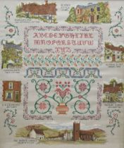
20th century needlework sampler depicting panels of famous historical author's and their houses, to include: Shakespeare, Beatrix Potter, George E...
Late 18th to early 19th century framed embroidered needlework map of England and Wales on silk
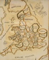
Late 18th to early 19th century framed embroidered needlework map of England and Wales on silk, divided into counties 39cm x 32cm, overall 52cm x ...
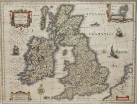
Willem Janszoon Blaeu (Dutch 1571-1638): 'Magnae Britanniae et Hiberniae Tabula', 17th century engraved map of the British Isles with hand-colouri...
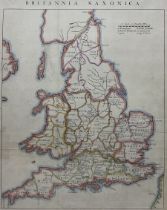
John Rapkin (British 1813-1899): Britannia Saxonica, 19th/20th century engraved map with later hand colouring originally pub. c1850, 39cm x 30cm
William G Nutland (British Military 20th century): Nuclear War Town Exit Plan Map: Civil Defence and
William G Nutland (British Military 20th century): Nuclear War Town Exit Plan Map: Civil Defence and Government Continuity in the Event of a Nucle...
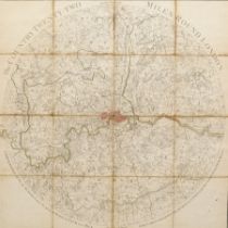
John Wallis (British 1745-1818) 'The Country Twenty-Two Miles Round London', 18th century engraved folding map with hand-colouring pub. 1783, 60cm...
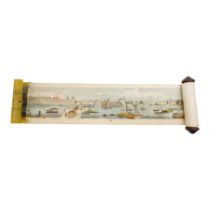
Frederick James Smyth (British 1841-1867): 'Grand Panorama of London and the River Thames - 18 Feet
Frederick James Smyth (British 1841-1867): 'Grand Panorama of London and the River Thames - 18 Feet in Length', 19th century engraved prospect map...
Edward Weller (British 1891-1884): 'The River Thames from its Source to the Sea', 19th century engraved map or chart with hand-colouring pub. 186...
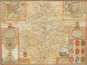
John Speed (British 1552-1629): 'The Counti of Warwick the Shire Towne and Citie of Coventre (Covent
John Speed (British 1552-1629): 'The Counti of Warwick the Shire Towne and Citie of Coventre (Coventry) described', 17th century engraved map of W...
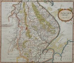
Robert Morden (British c.1650-1703): 'Lincolnshire', 17th/18th century engraved map with hand-colouring 38cm x 43cm
William Marrat (British 1772–1852): 'Map of Lincoln', 19th century engraved town plan with hand-colouring pub. c.1848, 60cm x 43cm
Richard Blome (British 1635-1705): 'A Mapp of the County of Leicester with its Hundreds', 18th century map with hand-colouring pub. c.1673; Robert...
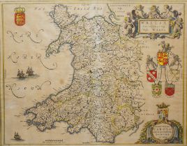
Johannes (Joan) Blaeu (Dutch 1596-1673): 'Wallia Principatus vulgo Wales', 17th century engraved map with hand-colouring pub. c.1645, 40cm x 50cm
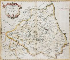
Robert Morden (British c.1650-1703): 'Episcopatus Dunelmensis Vulgo - the Bishoprick of Durham'
Robert Morden (British c.1650-1703): 'Episcopatus Dunelmensis Vulgo - the Bishoprick of Durham', 17th/18th century engraved map with hand-colourin...
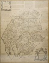
Emanuel Bowen (British 1694-1767) and Thomas Kitchin (British 1719-1784): 'A New Map of the Counties
Emanuel Bowen (British 1694-1767) and Thomas Kitchin (British 1719-1784): 'A New Map of the Counties Cumberland and Westmoreland divided into thei...
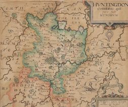
Christopher Saxton (British c1540-c1610) and William Kip (British 1588-1635): 'Huntingdon Comitatus
Christopher Saxton (British c1540-c1610) and William Kip (British 1588-1635): 'Huntingdon Comitatus qui pars fuir Icenorum', 17th century engraved...
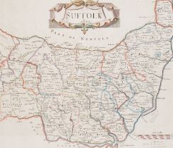
Robert Morden (British c.1650-1703): 'Suffolk', 17th/18th century engraved map with hand-colouring 38cm x 43cm
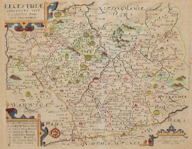
Christopher Saxton (British c1540-c1610) and William Kip (British 1588-1635): 'Lecestriae comitatus
Christopher Saxton (British c1540-c1610) and William Kip (British 1588-1635): 'Lecestriae comitatus sive Leicestershyre pars olim Corita' (Leicest...
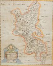
Robert Morden (British c.1650-1703): 'Buckinghamshire', 17th/18th century engraved map with hand-colouring pub. c.1695, 45cm x 39cm
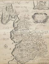
Richard Blome (British 1635-1705): 'A Mapp of the County Palatine of Lancaster with its Hundreds'
Richard Blome (British 1635-1705): 'A Mapp of the County Palatine of Lancaster with its Hundreds', 17th century engraved map pub. 'Britannia' c.16...
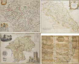
Emanuel Bowen (British 1694-1767): 'Northumberland' and 'Suffolk', two 18th century engraved maps; Thomas Kitchin (British 1719-1784): Counties of...
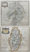
Robert Morden (British c.1650-1703): 'Nottinghamshire' and 'Warwickshire', two 17th/18th century engraved maps with hand-colouring 38cm x 45cm (2)
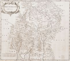
Robert Morden (British c.1650-1703): 'Westmorland', 17th/18th century engraved map 36cm x 42cm


![Richard Blome (British 1635-1705): 'A Mapp of Ye East Rideing of Yorkshire [East Riding Yorkshire]'](https://portal-images.azureedge.net/auctions-2024/duggle10262/images/af7c4724-628d-4980-b4b3-b23000fedc19.jpg?h=210)

